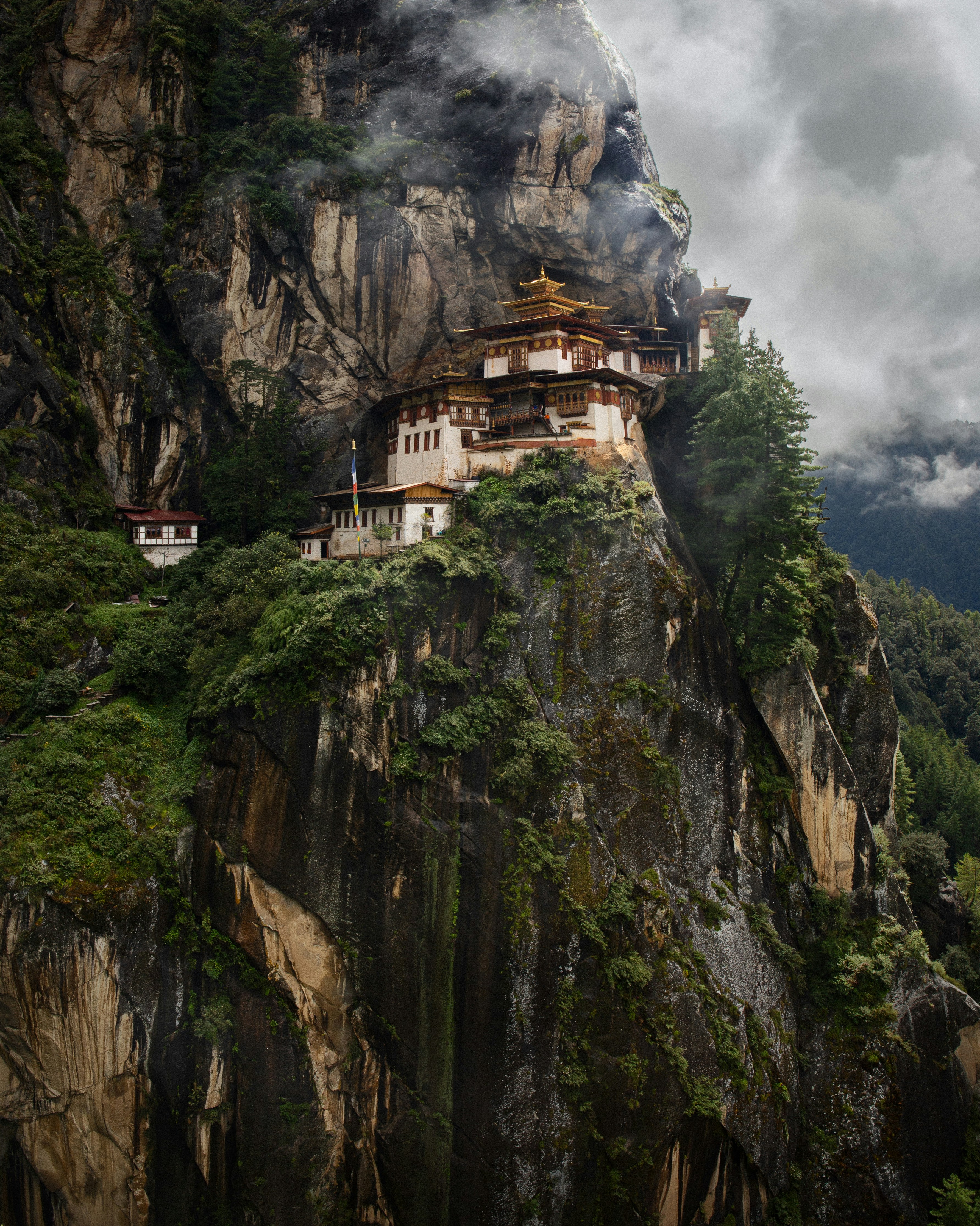
Taktsang Palphug — 3,120m — Paro District
KINGDOM OF
BHUTAN
ENTRY
2025
ROUTE
Thimphu → Punakha → Bumthang
7 days · 2,334m avg altitude
Vol. I · A Journal of Footpaths
The Last Country
That Doesn't Want
You to Come.
Cloud forests, prayer-flag corridors, and the silence that has texture. A field guide for those who need somewhere that still limits entry.
02 · Entry Point · 280m
The Jungle
Breathes
First.
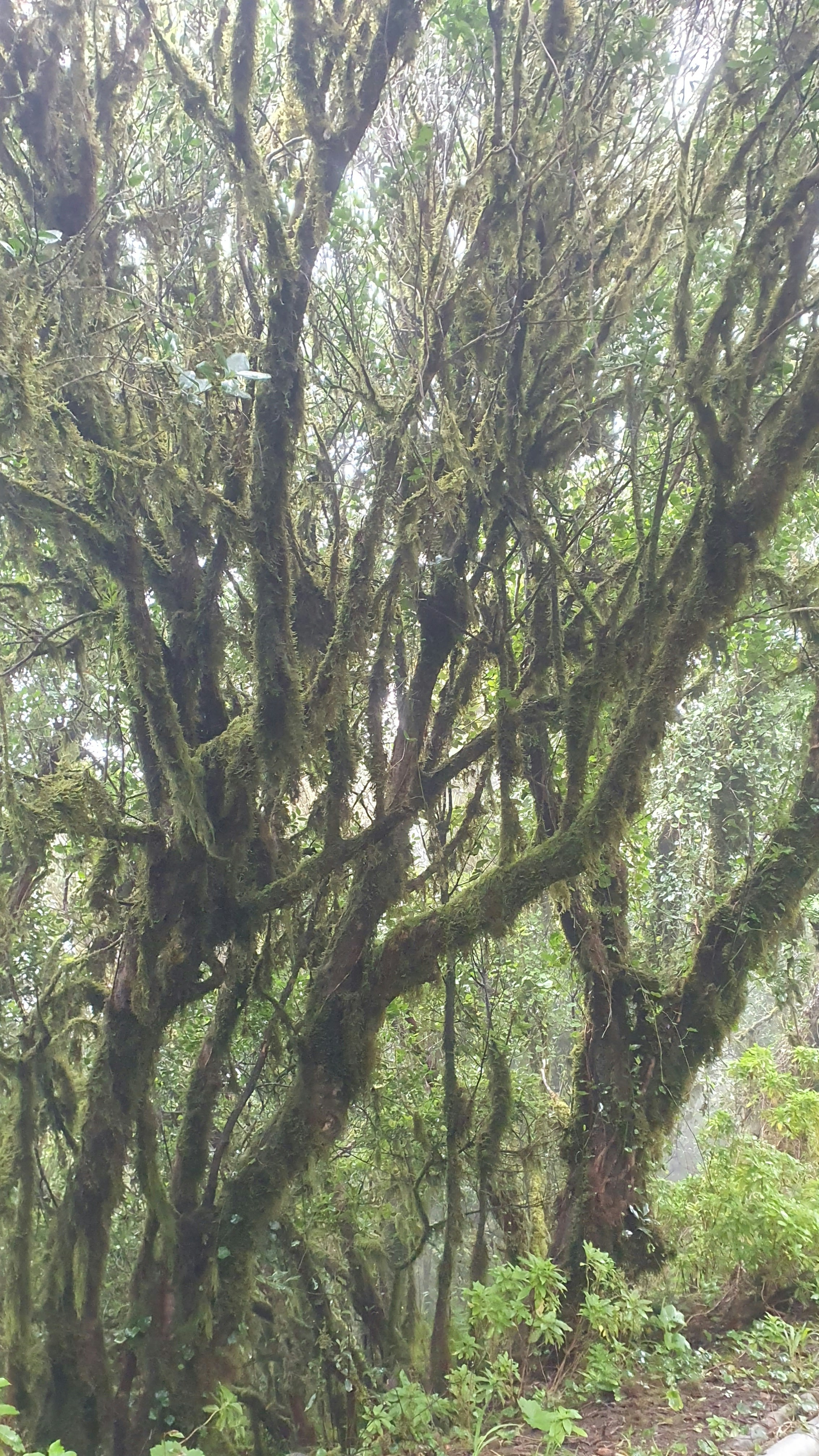
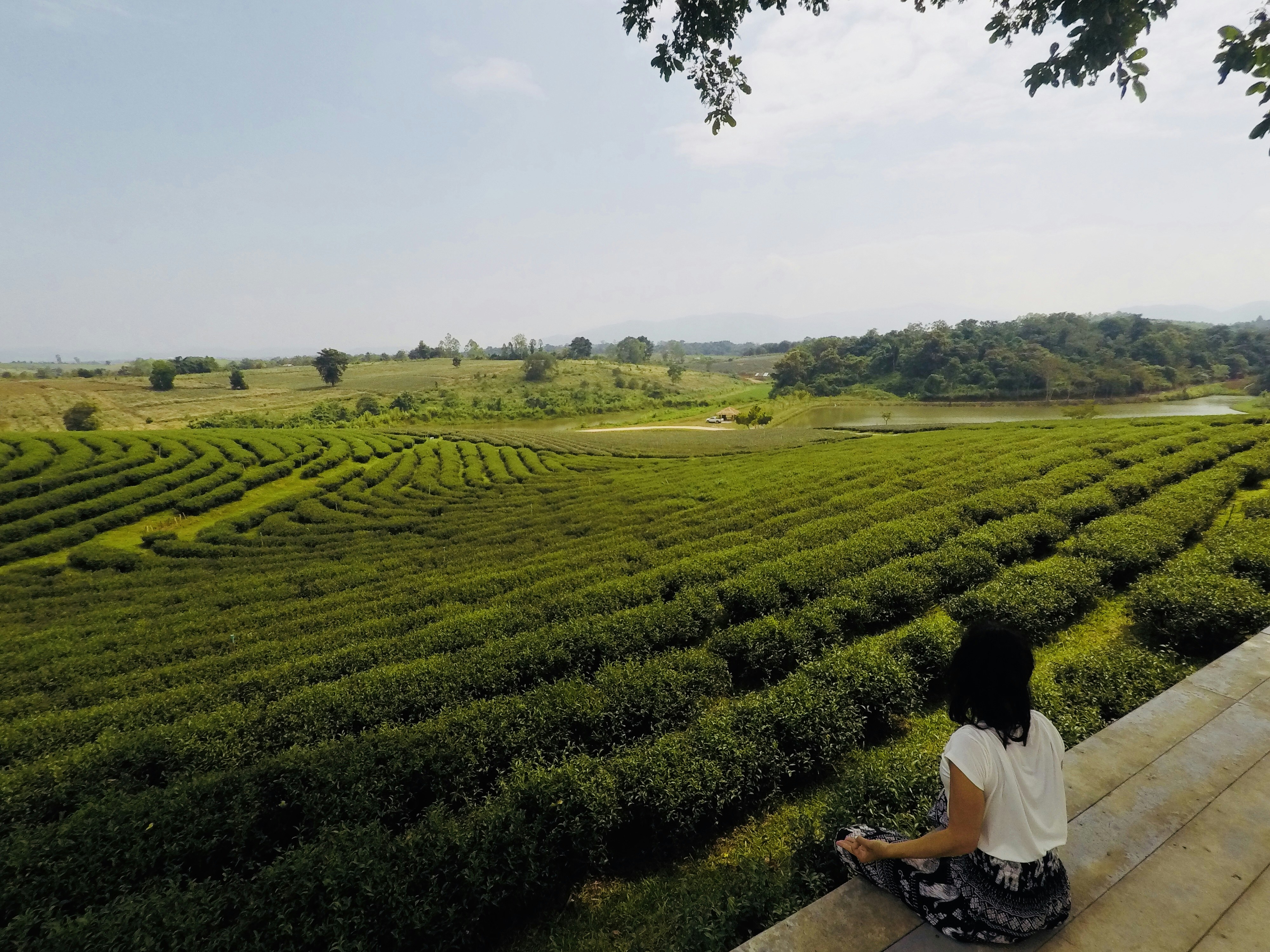
Bhutan's subtropical south rises fast. Elephant grass gives way to rhododendron forest before your lungs have adjusted. The air at Phuntsholing smells of rain on hot stone and something fermented, ancient. You haven't left Asia. You've entered a different century.
280m
Entry
2,334m
Avg
5,988m
Peak
Field Note — Day 1
"The border guard stamped my passport and said, without looking up: 'Welcome. Do not rush.' I didn't understand it then."
— M.K., Phuntsholing → Thimphu
Lung ta · Wind horses
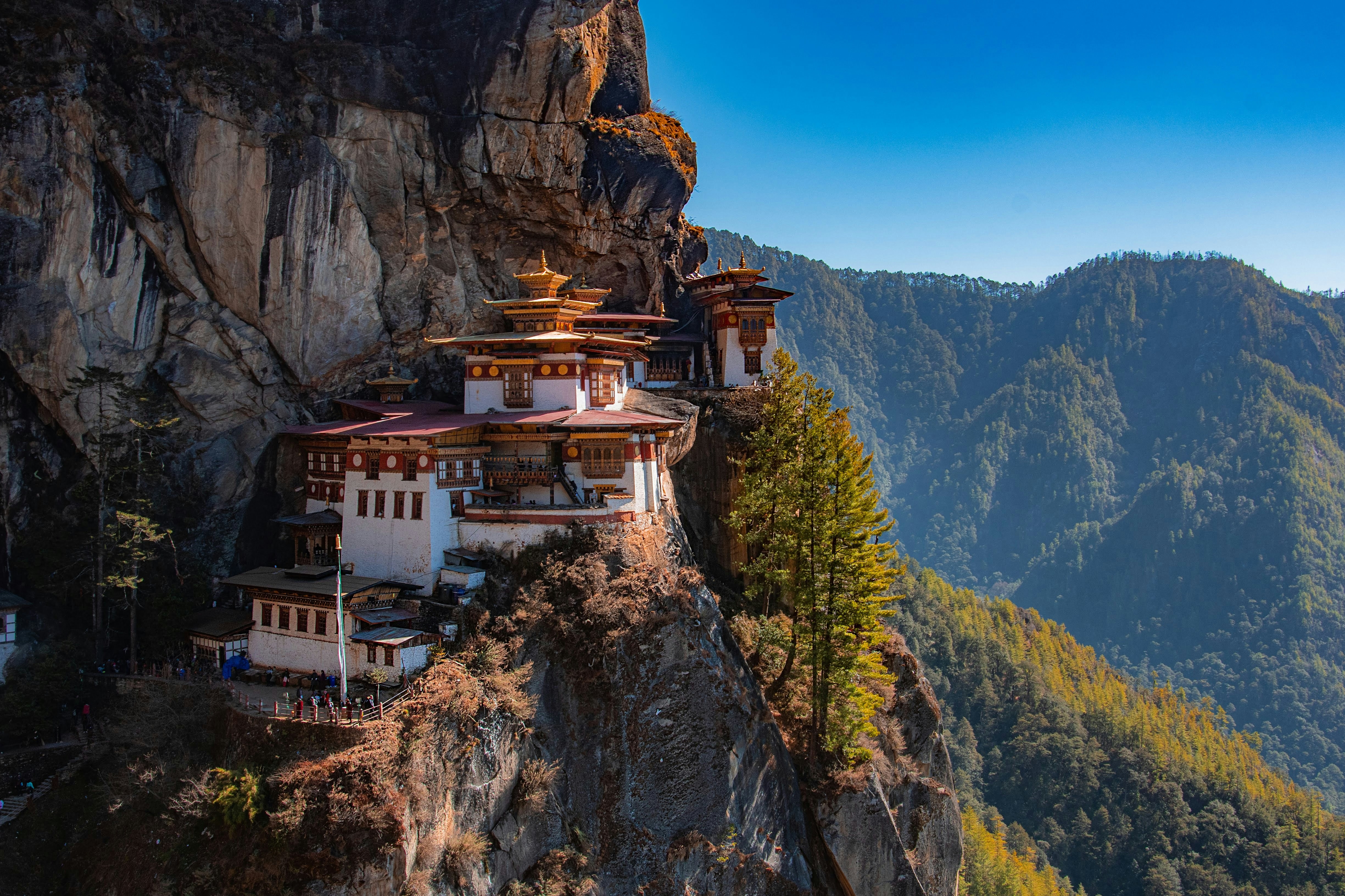
Tiger's Nest — 3,120m — 4hr climb from valley floor

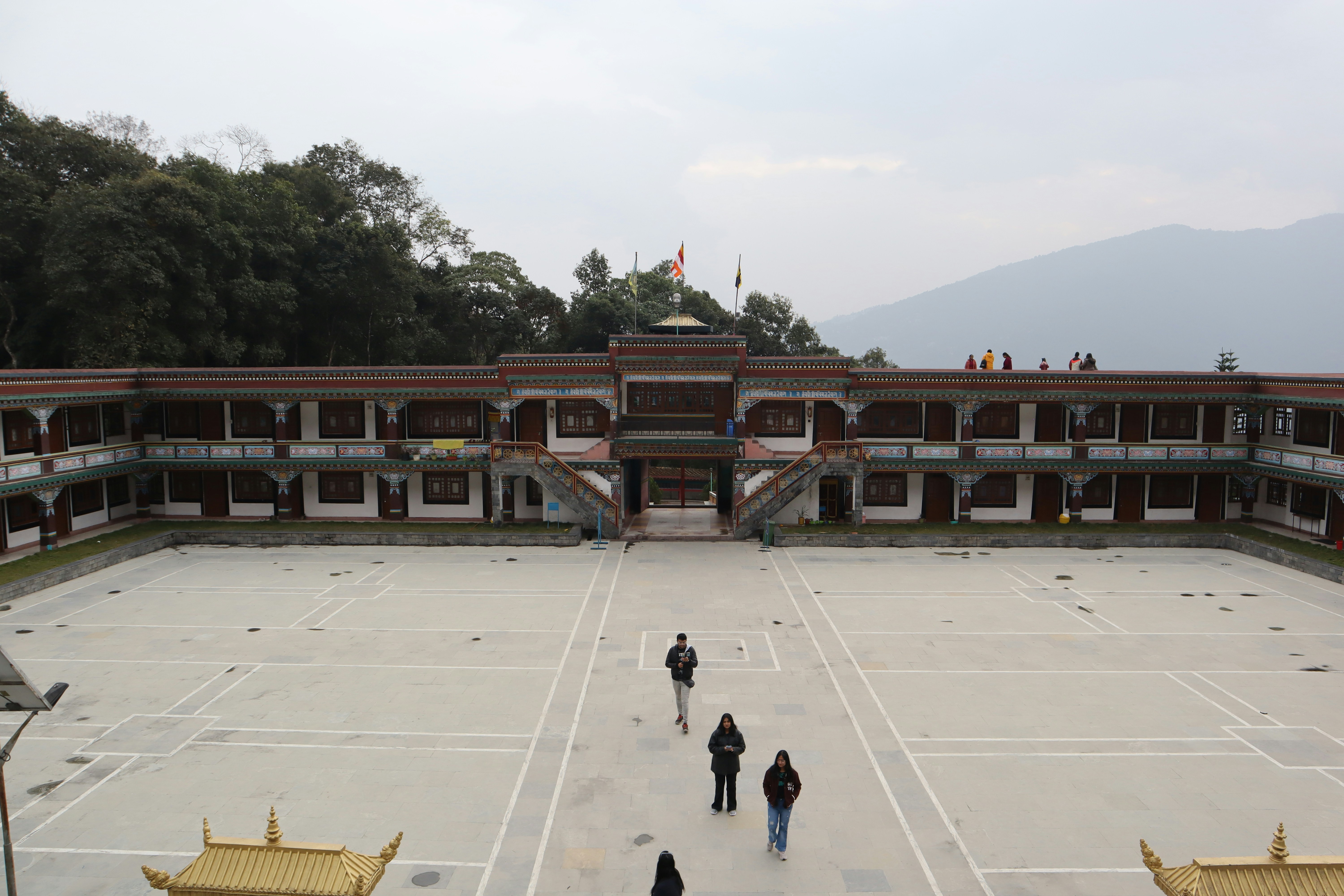
Punakha Dzong · Dawn silence
03 · Paro Valley · 2,280m
The Silence
Has
Texture.
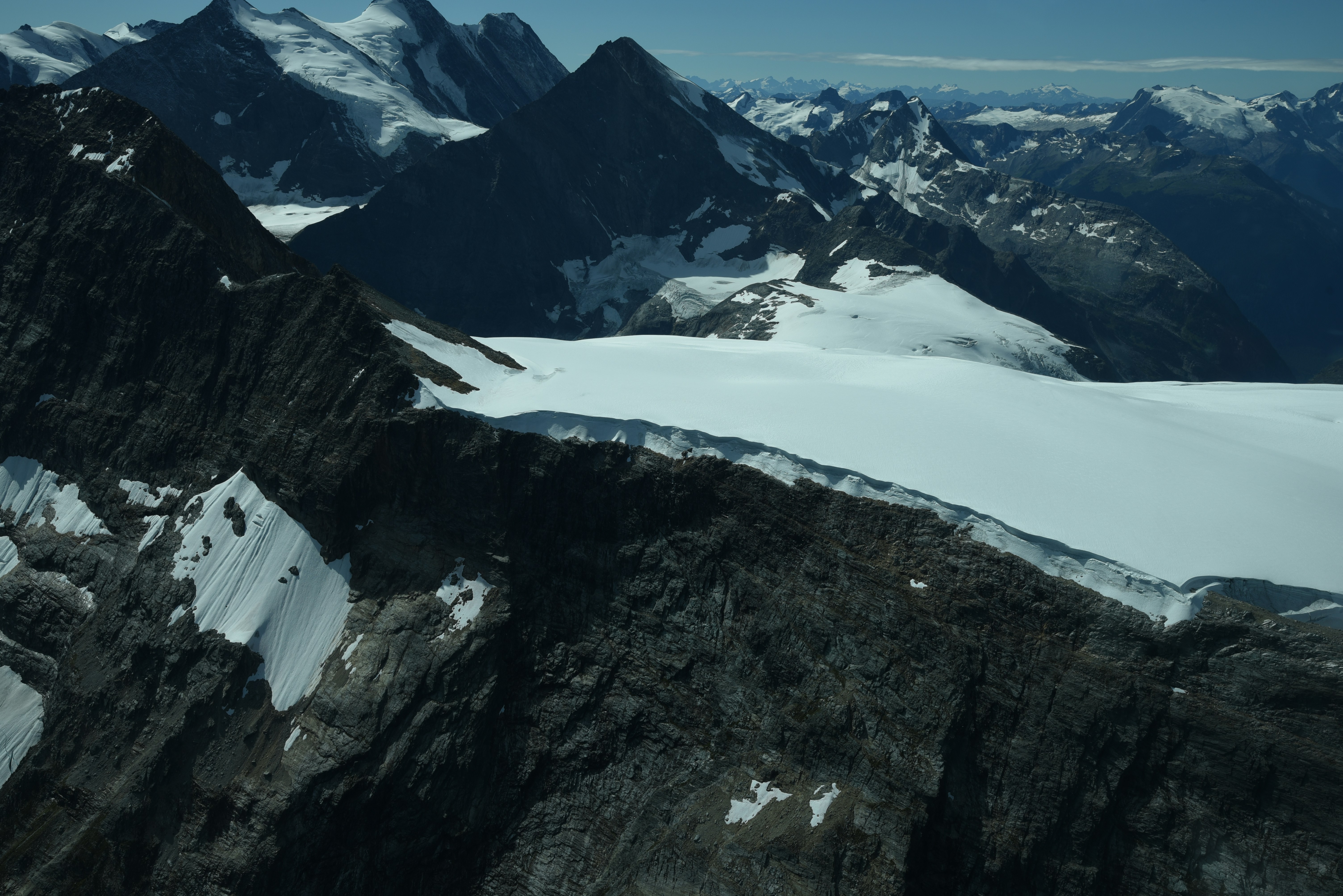
The trail to Tiger's Nest gains 900 meters through pine and blue poppy. You hear prayer wheels before you see them — a low metallic hum that exists just below hearing. The monastery appears through mist as if it was always there, waiting for you to be ready to look.
71%
Forest cover — more than any other country
≤9k
Tourists permitted per year by royal decree
GROSS
NATIONAL
HAPPINESS
04 · Who Bhutan Is For
Three Reasons
To Go.
The Solo Trekker
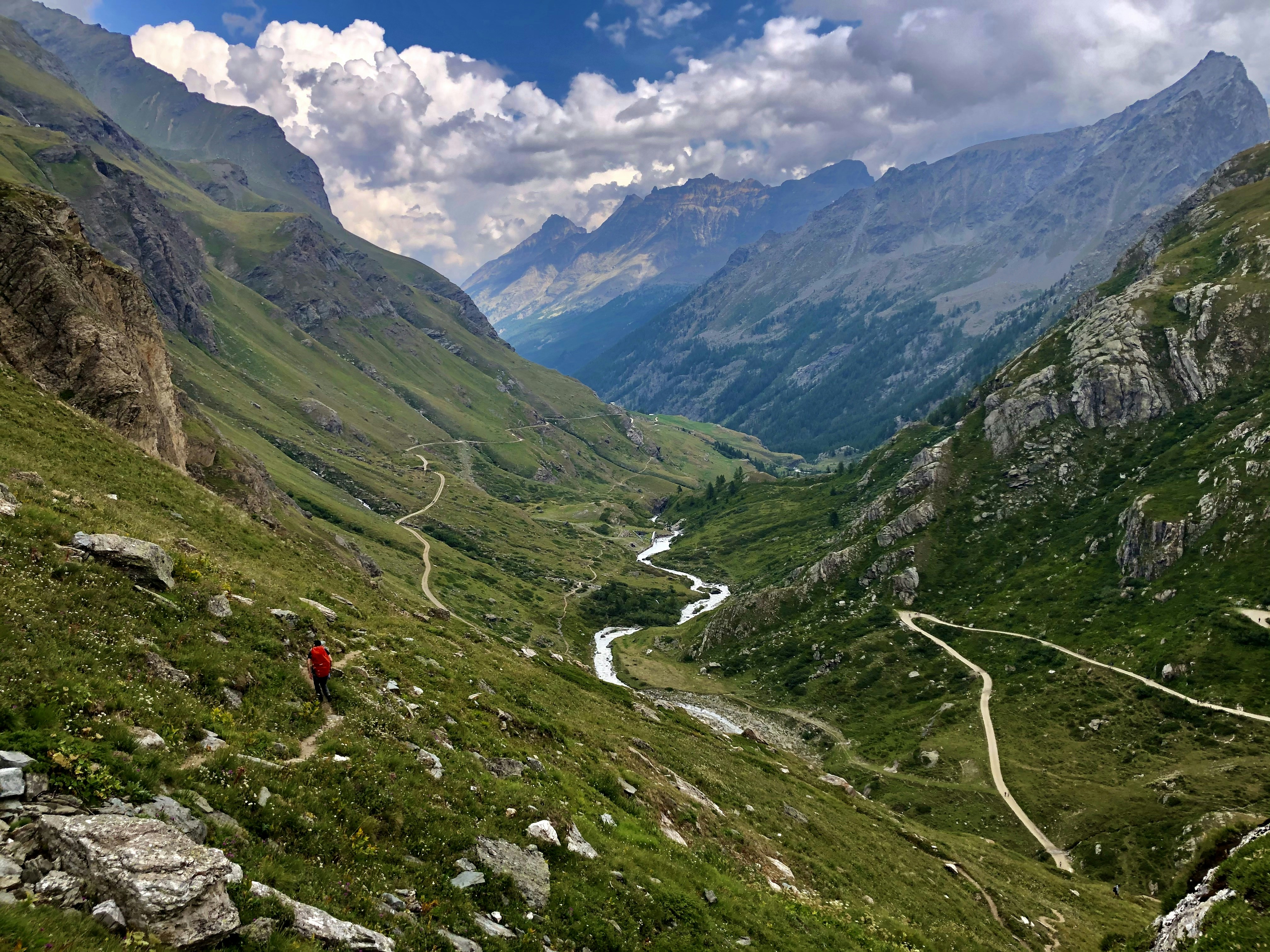
You've done Nepal. You've done Patagonia. You want somewhere that still requires permission to enter. Bhutan's Druk Path Trek covers 6 days and 5 passes. No porters required. No crowds possible.
Best season: March–May, Sept–Nov
The Honeymooners
Bhutan charges a Sustainable Development Fee. At a Punakha lodge with a private hot-stone bath above a river, that fee becomes the best money you've ever spent. No one else will be on your trail.
SDF: $200/day · Worth every cent
The Burned-Out Professional
You searched "places that measure Gross National Happiness" at 2 a.m. Bhutan has no traffic lights in its capital. The government measures wellbeing over GDP. You will feel this difference by day three.
Thimphu has no traffic lights
One more panel → the route
Dzong · 7-Day Route
Day 1
Paro
2,200m
Land. Acclimatize. Walk the valley.
Day 2
Thimphu
2,334m
No traffic lights. Markets. Tashichho Dzong.
Day 3
Punakha
1,200m
Punakha Dzong. Suspension bridge. Descent.
Day 4
Wangdue
1,350m
Rest. Butter tea. The river road.
Day 5
Trongsa
2,200m
Trongsa Dzong. The center of everything.
Day 6
Bumthang
2,580m
Sacred valley. Four monasteries. Silence.
Day 7
Paro
2,200m
Tiger's Nest. 4hr climb. Then home.
SDF $200/day · Visa required
BHU
TAN
"The mountains are not there to be conquered. They are there to be understood."